Tuesday, March 22, 2011

Exploring Engle, Kingston and Hillsboro, NM

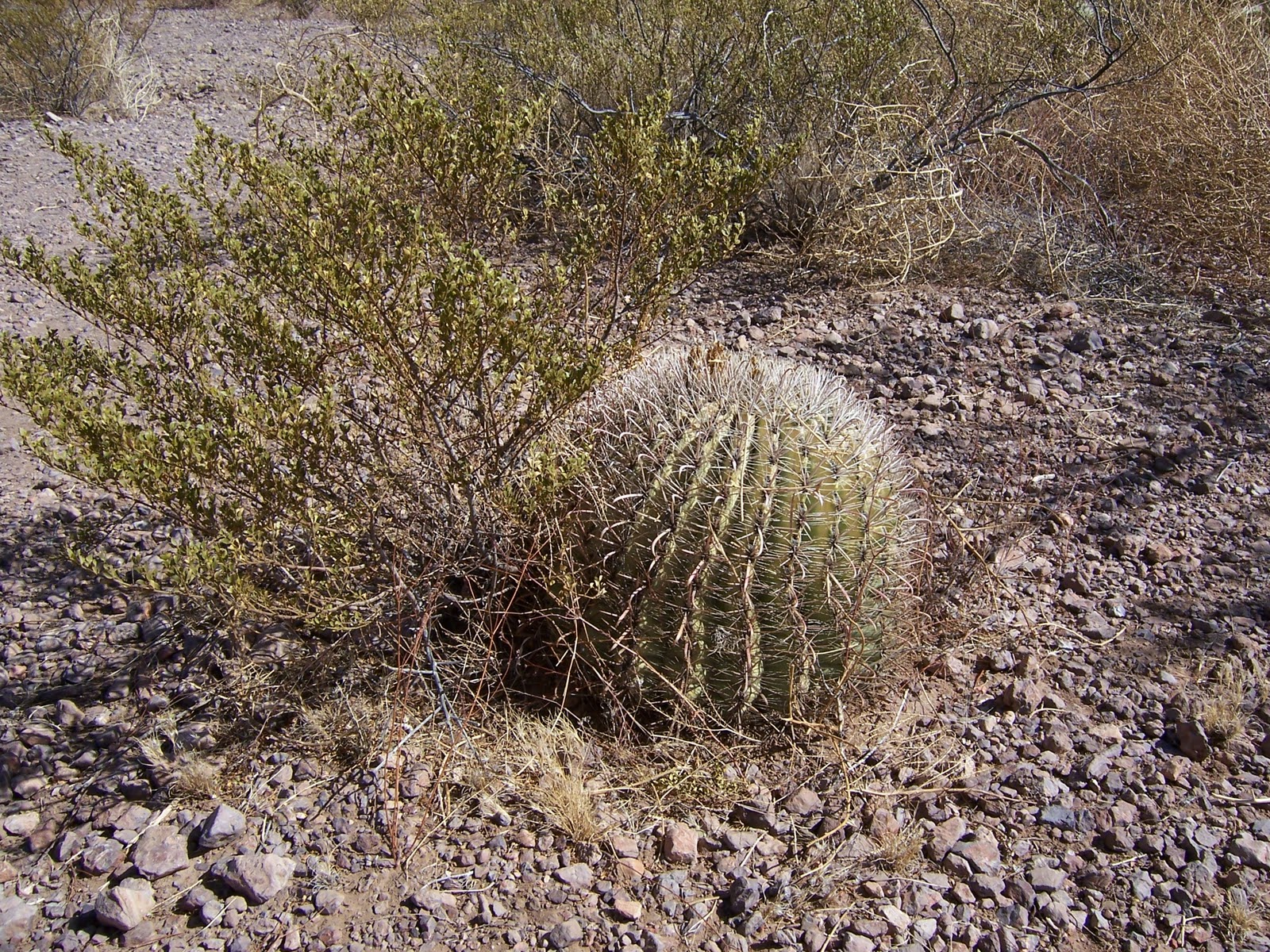
A fisherman that we met on the lake told us about the town of Engle.  He also told us Ted Turner (you know-the rich guy) has a ranch in the Engle area and we might see some of his buffalo.  We did find a herd of buffalo near a watering trough.  I found an article about the ranch on the internet that was quite interesting.  The article includes some history of the ranch and how it is being used for research of wild animals now. The name of the ranch is Armendaris Ranch and they have tours in the spring.  Here's the link to the article:  http://www.livestockweekly.com/papers/03/08/28/whlarmendaris.asp
As we traveled to Engle, we found this monument about the El Camino del Tierra Adentro, "The Royal Road to the Interior."  The road was one of the principal trade and transportation routes established by the Spanish from Mexico City.  This portion of the highway was located in the flatlands east of the Caballo Mountains. 
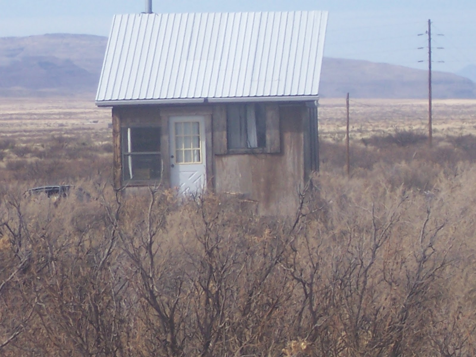
Engle, NM, was founded in 1879 on the route of the Atchison, Topeka and Santa Fe railroad.  It was a cattle town and shipping point during the construction of the Elephant Butte Dam.  The town is located west of the White Sands Missle Range.  Today only a few original buildings remain.  The stucco building was once a schoolhouse and is now a church.
There is another small town, Cutter, in the same area.  We didn't find it and we read that none of the original buildings are left.  However, we did find a sign for a cattle ranch with the name of Cutter in it.  Near the sign, we saw several sets of skeletons.  Don't know the reason for their deaths but we didn't see any fences around the ranches.
We were surprised by the next area we saw.  Spaceport America is being developed for commercial space travel.  It is located on the plateau  near the Cutter Cattle Company.  Seeing this felt like something out of the comic books that predicated space travel.  After seeing the site, we have also heard about it on the local news.  There have been test flights and it is hoped to be used soon for space tourism flights.
This historic steel deck truss bridge, a Warren design, was built in 1927 over a steep gorge.  Percha Creek Bridge was listed in the National Register of Historic Places on July 15, 1997.
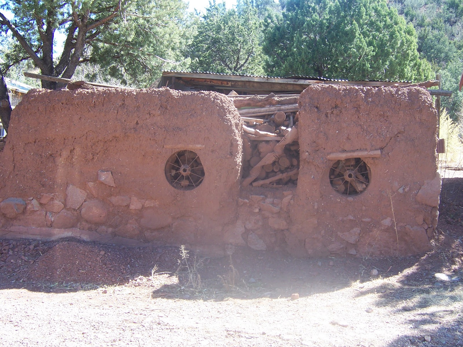
Several historic structures that remain in the old mining town of Kingston, NM, are the assay office, an adobe fence and the old Percha Bank.  The town was founded in 1882 when prospector Jack Sheddon make a rich silver strike.  The 1890 census counted 7000 residents.  Its current population is 25.  It's located among the beautiful Black Range Mountains.
Someone has displayed some old tools, pots and pans, etc. on the side of a very old building in Kingston.  The 1887 historic bell was used to warn of approaching Indians. 
We stopped in Hillsboro, NM, to have lunch and visit the Post Office.  The present day post office is in the original building which was built before 1893.  The postmaster said this post office may be one of the possible closures.  They will know by the end of March.
These ruins are of the Hillsboro courthouse that was built in 1892.  Hillsboro was once the county seat of Sierra County.  Mining was a big part of this city's history as well as ranching.
The jail stood beside the courthouse. The year of 1910 was etched in the cement on the side of the ruins.  Not sure if that was when the jail was built, some repair work was done or if there was addition in 1910.
The 1892 Union Church, an Episcopal church which is still in use today.
This building is currently the Hillsboro library but at one time was the high school.  Currently, all the school children go to school in Truth or Consequences ( T or C) about 32 miles away.
This mural was on the side of a private residence.  Hillsboro has become a small community of artists, ranchers and retirees.
The Black Range Mountains were amazingly beautiful with many different rock formations.
The Caballo Mountains are located on the east side of the Caballo reservoir on the Rio Grande River.
We sent this picture to our kids and asked them to send money so we could buy a retirement home.

Wednesday, March 16, 2011

Elephant Butte Lake in New Mexico

This was the first view we saw of Elephant Butte Lake when we arrived in the area.  Elephant Butte Lake is the largest lake in New Mexico and is a reservoir on the Rio Grande River.  We have plans to stay about 3 weeks to get to know the area and for Bill to try some fishing.
As the sign below tells us, construction of the dam began in 1911.  It was a project of the Bureau of Reclamation to provide for irrigation and flood control of the Rio Grande.  The dam's dedication ceremony was held October 16, 1916.  The lake was already forming behind the dam before the dedication.
This sign has some good information and is located at an overlook of the dam.
The southern area of the lake was the site of a large Civilian Conservation Corps (CCC) camp.  The camp was established in 1934 with a company of men transferred from Fort Bliss, Texas.  The mission of this camp was to build a large park and recreation area for the tourist's use and enjoyment of the lake.
A view of Rio Grande River flowing from the dam.
At the dam overlook, you can also see the island from which the lake takes its name.  The island is also a butte (a hill with steep, often vertical sides and a small, relatively flat top).  If you use your imagination, you can see what looks like an elephant head and ears on the left hand side of the island.


Access to this lake on its west side is through Elephant Butte State Park.  It is New Mexico's largest and most visited park.  It is relatively quiet this time of year.  The park is used for many water sports including waterskiing, pleasure boating, canoeing, kayaking, windsurfing, swimming and scuba diving.  The south end of the lake has a large houseboat area. 

Just a few more views of this fascinating lake and its landscape. 
Bill's first day of fishing and so far it is slow.  We will keep you updated on his successes (or not).  The lake has a large variety of fish including striped bass, walleye, largemouth, smallmouth and white bass, catfish, crappie and bluegills.  The river also has trout.

A beautiful sunset from our RV park which is located just across the highway from the state park.  We have found several nice walking paths near the RV park - one is part of the state park and includes a nature path.  We are really happy with this RV park.  It has large spaces for your RV and parking.  It is very quiet.  The grounds are well-kept and very clean.  All the facilities - showers, restrooms, community room, etc. - are all exceptional.

Friday, March 11, 2011

The Desert of Arizona and New Mexico

Ahh!!!  Blue skies with wisps of white clouds.  Finally, warm weather.

The desert's rock formations are interesting and varied.  Some mountains seem to rise straight up from the desert plains.  Some rocks look like they have been stacked by some unseen giant.
The native plants and cactus of the desert must be the most durable in the world.  The tall saguaro, the stick-like octillo and the green and purple prickly pear are very common on the rocky hillsides or desert plains.
The creosotebush is an evergreen shrub found mostly on dry plains and mesas.  The stems and leaves of this plant smell like the wood preservative creosote.  The barrel cactus have ribs on the side where the spines almost criss-cross.
We saw a yucca plant, an agave plant and a pincushion cactus on a nature path.
The yucca plants (with the tall, dried blooms) and prickly pear cactus stand in front of rocky mountains and blue skies.  All of the features of the desert in one picture.
We enjoyed the Rockhound State Park near Deming, NM.  Wished we knew more about identifying rocks although we did find some jasper along the trail we hiked.
One of the man-made sights along the highways are decorated overpasses.  This one included some Native American art and geese.
There are many ranches in the southwest.  We saw these huge stacks of hay near large ranges for cattle.
A product of the southwest - chiles.  The bulk of New Mexico chiles are grown in and around Hatch, in southern New Mexico, which we drove through on our way to Elephant Butte.